Plane Tabling Survey (Method of Radiation)

Intersection Method of Plane Tabling
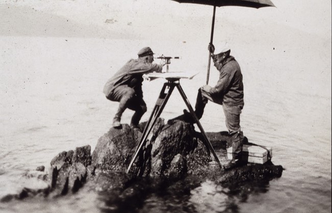
Instruments Required:
- Tripod
- Plane Table
- Plumbing Fork
- Level
- Magnetic needle compass
- Alidade
- Measuring Tape
- Ranging Rods (For demonstration purpose)
- Other accessories
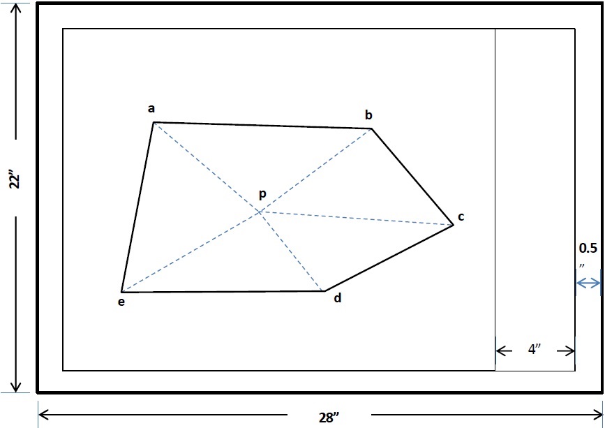
- 28in x 22in drawing sheet
- Scotch Tape
- Chisel pointed Pencil
- Eraser
Procedure:
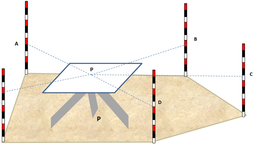
- Select a suitable point P on the ground such that all the details are visible from it
- Center and level the plane table over P
- Mark the direction of the North on the sheet by using compass
- Locate instrument station p on the sheet by using plumbing fork, such that p on sheet is exactly over P on ground
- Centering the alidade on point p sight various details step by step and draw a ray from each detail along the fiducial edge of the alidade
- Let the details be named as A, B, C, D, E etc.
- Now measure the distances of each point from P i.e. PA, PB, PC, PD, PE and plot them to scale on the sheet as pa, pb, pc, pd, pe respectively
- Joint a, b, c, d, and e to give the outline of the details
NOTE: These details may be building corners, electric towers, tree, manhole etc. But for demonstration purpose we will put ranging rods.
Significance and Applications
This is the easiest method in plane tabling. It is used when:
- All the details are visible and accessible from one instrument station
- The ground is level and smooth
- Distances are so small that can be measured with single tape