How to Establish controls in Hydrographic Surveying

The first step in making a hydro graphic survey is to control both horizontal and vertical.
Horizontal Controls:
In an extensive survey, the primary horizontal control is established primary horizontal control secondary once by running theodolite and tape traverse b/r the triangulation station, the traverse lines being run to following the shore lines approx. in survey of less extent the primer horizontal, control only is required and is established by running a theodolite and tape traverse sufficiently close to shore line. For rough work, the control may be established by running a theodolite and staid traverse or plane table trader.
Stadia Surveying:
The distances are determined by angles there are staid hairs from which angles and all calculate are determined without change.
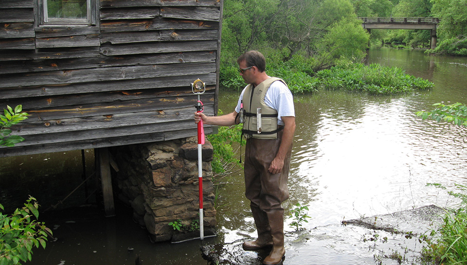
Vertical Controls:
These are based upon a series of bench marks established near the shore line by spirit leveling and these serve for setting and checking tide gauges etc to which the sounding are referred.
Shore Line Surveying:
Purpose:
- To determine the shore lines.
- To locate the shore details, promise topographical feature, light house, pt of reference etc.
- To determine the high and lower water lines for average spring. Both in please and elevations in the case of tidal waters.
All irregularities in the shore line as well as the shore details are located by means of offsets measured with a tape form the traverse lines, by staid or plane table.
The points of reference should be dearly risible form the water and should be near enough such wing mills, flag poles etc. buoys anchored off the shore and light houses are used reference points. The position of the high water line may be judged roughly form deposits an marks on rocks however to locate it accurately the elev of mean high water is determined and point are located on the shore at that elevation. The line connecting these points represent high water level.